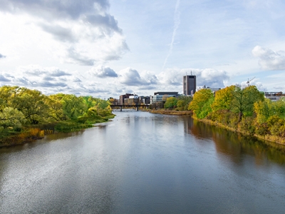
Carleton University’s Geomatics and Cartographic Research Centre, working with its partners, will launch the Residential Schools Land Memory Atlas (RSLMA) on June 21, 2020 National Indigenous Peoples Day.
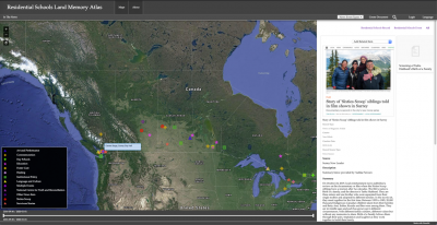
The RSLMA identifies residential schools from across the country and contributes to the knowledge relating to these schools, their sites and the perspectives of survivors. Its images and maps incorporate both archival and experience-based knowledge of the schools and their sites.
The maps in this atlas use location as an organizing factor for images, videos, narratives and a variety of content relating to the legacy of residential schools. They explore the historical geography of buildings, sites and stories. The atlas incorporates a variety of material, including media and related information on residential school reunions and gatherings, exhibitions about residential schools, sketch maps of survivor stories created by university students and news stories on themes related to residential schools.
The atlas builds on theoretical and methodological developments in Cybercartography and is consistent with Indigenous world views. This relationship-focused approach involves reciprocity, engaging people in the production of maps to tell the stories they wish to tell—and giving these stories back to communities for education and further input. Work developing the atlas involved expanding research, education and community networks, and increasing awareness of the residential schools’ legacy via critical approaches to cartography. The atlas is a living one that it will continue to grow and evolve as new content is added.
The Cybercartographic atlas is different from a traditional atlas. It uses location as an integrating mechanism for all kinds of information in multimedia formats, using the innovative Nunaliit— meaning community in Inuktitut—open source software framework, developed by the GCRC team in co-operation with many Indigenous, national and international organizations and individuals.
The atlas is the culmination of five years of research supported by the Social Sciences and Humanities Research Council (SSHRC). The project involves Indigenous partners, including the Shingwauk Residential Schools Centre, the Children of Shingwauk Alumni Association, the Assiniboia Residential School Legacy Group, the Legacy of Hope Foundation and the National Centre for Truth and Reconciliation. The Atlas received significant contributions by Jeff Thomas, other academic partners include Algoma University, Concordia University and the University of Manitoba
Students have contributed to the development of this atlas in – valuable ways while learning innovative and sensitive ways about the many dimensions of the Residential Schools Legacy.
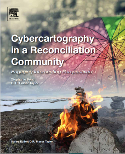
Cybercartography in a Reconciliation Community, edited by S. A. Pyne and D. R. Fraser Taylor includes chapters by atlas contributors and further describes the Atlas creation process.
Contact
Steven Reid
Media Relations Officer
Carleton University
613-265-6613
Steven.Reid3@carleton.ca
Follow us on Twitter: www.twitter.com/Cunewsroom
COVID-19 Updates: https://newsroom.carleton.ca/coronavirus-covid-19/messages/
Tuesday, June 16, 2020 in News Releases
Share: Twitter, Facebook